

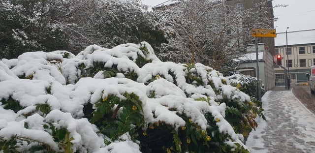
Today is Sunday, January 4 with patchy snow expected at times. Temperatures near 3°C and lows about -1°C keep things on the colder side. Skies may look cloudy, and light rain could appear briefly before turning to flurries. Snowfall remains likely through the afternoon, adding a wintry feel.


Tomorrow sees moderate or heavy snow showers in the early hours, then a brief sunny spell by midday. Temperatures near 2°C could mix with scattered flakes or rain, so expect a cold but slightly brighter outlook. Late evening stays clear, with lows dipping to about -3°C overnight. Winds remain gentle.
An increasingly sunny day arrives next, bringing mostly clear skies and temperatures about 3°C. Early morning could feel frosty near -3°C, but sunshine dominates by midday. Clouds may appear briefly but no rain is in sight. This calm spell provides a mild break after the earlier snow. Winds stay moderate.
Midweek turns unsettled for Wellington, with patchy drizzle and overcast skies. Temperatures near 6°C and lows about 1°C accompany occasional rain, though heavier showers might fade quickly. Fog could develop in the morning, but some clearer intervals may emerge later. Gusts pick up slightly, adding a bit of chill overnight.
Another mild day follows, with patchy rain likely and highs near 7°C. Lows hover about 4°C overnight, while light rain persists into the evening. The breeze grows stronger, but quick breaks in the cloud cover could bring brief dryness. Moving toward this weekend, conditions remain a mix of drizzle and mild air.
This article was automatically generated
Comments
This article has no comments yet. Be the first to leave a comment.