
English weather used to be summed up as “no two days the same”, but recently it has followed a stuck-in-a-rut pattern with four weeks wet, six weeks dry and then four weeks wet again. That said, with water levels in our local reservoirs already dropping during February, we should perhaps be thankful for the recent rains.
March began with high air pressure in charge, giving a lighat but chilly breeze from the north-east. It was generally cloudy, apart from March 2 which was very sunny with a clear, calm night to follow.
That saw the temperature in Wellington drop to minus 2.7C (28F), after which the month would have no more than a touch of frost. A significant change occurred on March 6, the anticyclone drifting towards Iceland and allowing a flow of Arctic air to spill southwards across the British Isles. A weak weather front gave a little rain that night, the next day being resolutely dull and cold.




Snow was forecast and arrived in the small hours of March 8, this being our first March snowfall since the “Beast from the East” in 2018. Although the daytime temperature in Wellington hovered around 3C (37F), it rained on and off all day and into the night, giving a total of 21mm (0.84 inch). Most of the snow had thawed within twenty-four hours, heavy showers and higher temperatures on March 9 clearing what was left.
With air pressure remaining high over the Arctic, the North Atlantic jet stream was further south than normal. This steered a succession of low pressure systems across Britain, the same basic weather pattern persisting to the end of the month.
The prevailing wind was from the south-west bringing some rain every day, but also higher temperatures. The maximum in Wellington exceeded 14C (57F) for the first time this year on March 12, to be followed by one of our warmest March nights on record, with a minimum of 10.5C (51F).
The third week was quite springlike, though no day was totally rain-free. Temperatures were above average with some more very mild nights, and welcome sunshine, notably on Mothering Sunday, March 19. The month’s highest temperature in Wellington was just shy of 16C (61F) on March 21, followed by a wet night. The next day began sunny, but heavy showers developed and continued into the night, while on March 23 the rain set in after lunch and continued until bedtime. On March 24 a line of thunderstorms tracked roughly from Exeter to Salisbury, but our area had little rain.
Unsettled conditions characterised the final week, with a few days offering some sunshine. March 26 was actually dry throughout, if slightly cooler, but the month ended on a stormy note. A deepening depression tracked along the English Channel, with driving rain late on March 29 and again during the night of March 30. The last day was fairly dismal with patchy rain, the temperature hovering around 10C (50F).
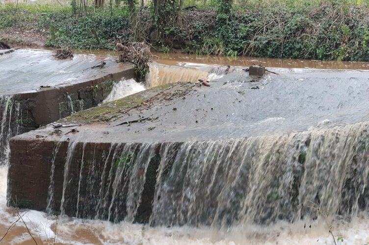
In summary, the month’s mean temperature of 7.8C (46F) in Wellington was nearly a degree above the long-term average, thanks to the number of mild nights. It was notably dull, and the total rainfall of 173mm (6.9 inches) was 230% of the average. Since 1947, only March 2018 was wetter. Clatworthy Reservoir is, however, overflowing again.
Comments
This article has no comments yet. Be the first to leave a comment.