Wellington has been warned to brace for heavy wind and rain after Storm Ciaran makes landfall on Monday.
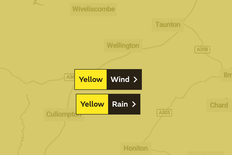
A yellow weather warning for wind and rain has been issued across the south west, and is set to come into force on Wednesday evening.
Strong winds and downpours are expected to batter the region until Thursday night, when the warning expires.
The turbulent weather is forecast to arrive after Storm Ciaran lands in Northen Ireland on Monday where the Met Office has issued an amber warning.


The weather is set to travel across large parts of the UK. Commenting, Met Office Deputy Chief Meteorologist, Chris Almond, said “Winds associated with Storm Ciaran are likely to gust to 80mph along the south coast of England, with a small risk of somewhere exposed seeing 90mph, and winds could even gust up to 50 or 60 mph further inland.
“This deep low-pressure system will also bring heavy rain to much of the UK, but the heaviest rain is expected in southern and western areas with 20 to 25mm quite widely across the region but up to 40 to 60mm potentially over higher ground.
"Heavy and persistent rain will fall onto already saturated ground bringing a risk of further impacts such as flooding in areas that are already struggling to clean up from the heavy rainfall we have seen over the last week or so.”
Met office guidance said that heavy rain associated with Storm Ciaran is likely to bring disruption, and could cause flooding.
A flood warning for the River Tone catchment had not been issued by early on Monday afternoon, but the Met Office advised people in affected areas to keep an eye out for updates.
In a statement the Met Office said: "Warnings will continue to be updated over the coming days, so it is important to stay up to date with the Met Office forecast and warnings in your area.
"You can keep up to date with the latest forecast on our website, by following us on Twitter and Facebook, as well as on our mobile app which is available for iPhone from the App store and for Android from the Google Play store."
Comments
This article has no comments yet. Be the first to leave a comment.